Tuesday, 10 July 2018

Wells - A Seaside Town

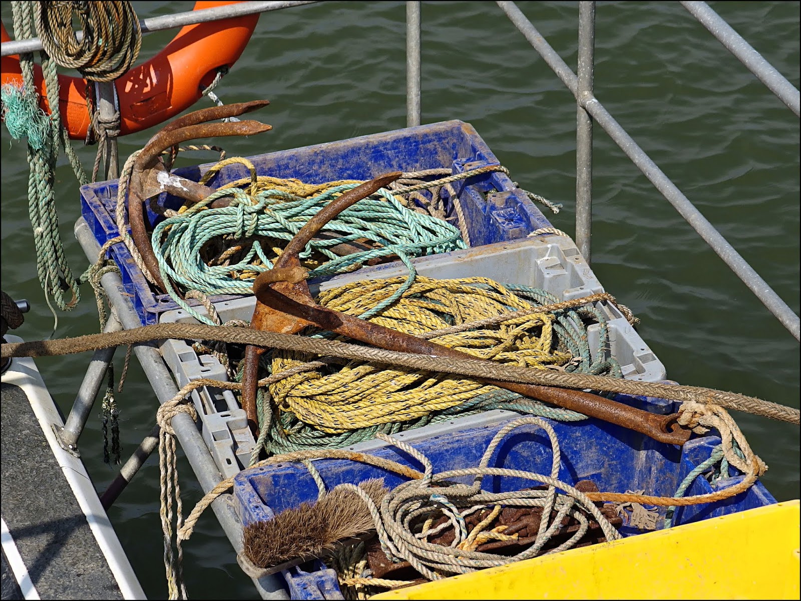
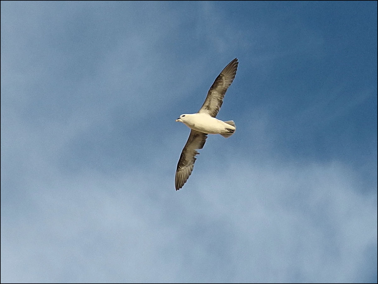
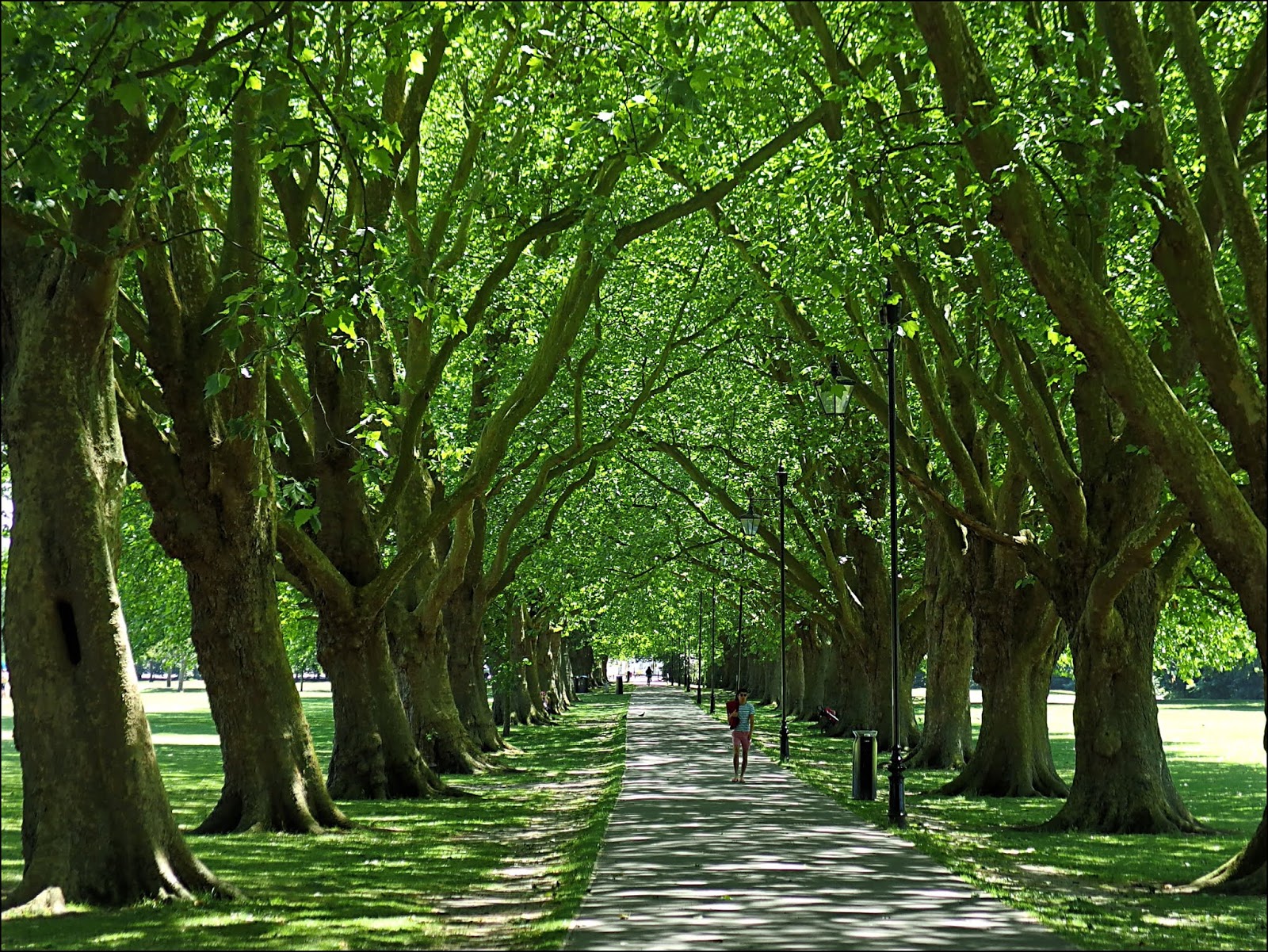
A few pictures taken in the little town of Wells-Next-The-Sea in north Norfolk.


Take care.


Monday, 9 July 2018

Seeking Seals


As you travel the North Norfolk coast road you may notice the village of Morston, or you may miss it entirely; it's not a very extensive place. On one of the flint-built cottages is a sign, Beans Boat Trips - Seals & Birds. A good place to start.


It's best to book your trip a day or two before as times vary according to the tides. If you get there a bit early you could have a look at the church with its rather odd tower which was repaired after being struck by lightning.


Parts of the village are still "Norfolk-like-what-that-used-to-be", having so far escaped the gentrification which has accompanied the increased tourist trade.


But you'll soon find yourself down by the Quay, observing the different vessels that line the inlet, and searching for a person in a bright orange jumper who is in charge of Beans Boats.


It's but a short voyage across to Blakeney Point, the long shingle spit on which the seals haul out of the water. As you can see the boats get quite close to the basking seals who are not in the least bit concerned by this intrusion.


It's sometimes difficult to decide who's watching who!

The only boats that really bother the seals are canoes or kayaks. Instinct tells them that something so low in the water and silent must be some kind of predator and they become agitated.
.

There's also a nesting colony of Terns on the spit - Common Terns, Sandwich Terns, Little Terns and a few Arctic Terns. In fact it was the birds that first attracted the attention of Charles Rothschild who bought Blakeney Point and made it into a nature reserve.


Most of the seals present at this time of year are Common Seals, which are known as Harbour Seals elsewhere in the world. During the winter months there are far more Atlantic Grey Seals.


They spend an awful lot of their time just lying about on the sand during the summer months - rather like the human visitors at the seaside. In theory you can get to Blakeney Point by walking but it either involves a long trudge along the shifting shingle, or a paddle across the estuary at low tide, but a boat trip is much more fun and gets you closer to the seals.


There was time for a brief landing on the point for a stroll down to the lifeboat station. On the right is the old lifeboat house, while its replacement can be seen on the left. Neither is in use any more as the growth of the spit has left them high and dry. It's now home to the wardens who care for the nature reserve.


There are also a few shacks scattered among the dunes. These were built as holiday homes in the days before planning restrictions, but are now used as field study centres by universities. That's an Oystercatcher, posing in the foreground.


Then it was time to say goodbye. I'll be back to see you again some day.


Take care.


Sunday, 8 July 2018

An Evening Under Hunstanton Cliffs


Hunstanton has something for everyone, at least that was the way it was planned when the whole town was built as a resort back in the late nineteenth century. Its wild west end is on flat land and contains the fairground rides, candyfloss sellers and fish 'n' chip shops, while towards the east, as one gradually ascends, it becomes more genteel with flower gardens and a bowling green.


It even has its own archaeological site, the remains of St Edmund's Chapel, which dates back to at least medieval times, though it looks to me as though some rebuilding took place to make it a more pleasing ruin according to Victorian tastes.


But if you continue on, past the coastguard tower and the lighthouse, you can make your way down a sandy track to the beach, a place of natural wonderment that my brother and I had visited when we were children.


It was here that I first discovered, at the age of about five, that the world was not entirely composed of brown mud, as anyone brought up in my neck of the woods might reasonably suspect, but of rocks of wildly different colours. I had recently stumbled upon the power of the question "Why?" but my mother and her friend couldn't give me any explanation for this geological conundrum.


Equally fascinating - and equally inexplicable - was that the tide went in and out. But somehow the waves kept rolling in, even when the tide was going out! And in the rockpools were alien forms of life; not just the worms, caterpillars and spiders with which I'd long been on intimate terms.


High up on the multi-coloured cliffs are the nests of Fulmars. We didn't notice these when we were children for the very good reason that they weren't there then; it wasn't till 1965 that they spread around the coast to nest here, overlooking the activities of the holiday makers.


Despite their similar appearance they are not "seagulls" at all, but are related to albatrosses. They patrol along the cliffs, gliding on stiff, outstretched wings, effortlessly riding the updraught.


Further along, as the beach becomes more rocky, we found these creations. Have the rocks been cleverly balanced by a serious installation artist or are they the work of imaginative children? Is there indeed any difference between the two? A young man was making a time-lapse video of these structures as the tide came in and the sun went down. Which would fall first? The sculptures or the darkness? We decided to wait and see.


We were joined in our vigil by an unlikely companion in the form of an inquisitive duck which seemed to adopt my brother as some kind of surrogate mother and stayed closely by his side!


The sun sank slowly in the western sky. By a quirk of geography Hunstanton is the only place on the east coast of Britain which actually faces west. Check it on a map if you don't believe me.


The rock figures remained, defiant and watchful, like so many stone Meerkats, as we turned to leave.


Take care.


Saturday, 7 July 2018

The Boats Of North Norfolk


I've just returned from a few days break on the Norfolk coast and as usual I seem to have taken a lot of pictures of boats. So here are just a few....


This stretch of coast used to be lined with commercial harbours with ships sailing around the British coast and across the North Sea to the rest of Europe. In those days East Anglia was the industrial heartland of the country, particularly because of the wool trade. However as ships got larger, inlets and harbours silted up, and the wool trade failed, so the ports of Norfolk, like Wells-Next-The-Sea (above), became fishing towns and villages.


Gradually the fishing trade failed also and nowadays, although the remnants of the fishing fleet still operates, many former fishermen find employment in tourism, like the ones above taking visitors over to Blakeney Point from Morston Quay to see the seals (more of that in a future post).


On the way they may see Juno, a reconstruction of a sailing barge. This traditional type of vessel is capable of sailing into the shallow creeks along this coast and also putting to sea. Their secret is that, instead of the more normal keel which most vessels have, the Juno is fitted with lee-boards, one on each side, which can be lowered to stabilise her in deep water, or raised to give a draft of just 2ft 6 inches (76 cms).


Or they may see one of these little sailing boats used by youngsters learning to sail in these relatively calm waters protected from the open sea by the shingle bank of Blakeney Point.


Or perhaps even Mary, who started out in life as an open lifeboat propelled by oars before being de-commissioned and remodelled with the charming addition of a garden shed! If this picture reminds you of something from childhood then it's probably Noah's Ark from those little illustrated books of Bible stories.


Looking across this wide area at high tide it's difficult to believe that in just six hours or so all the water will have departed leaving these vessels high and dry till the next tide.


Here's the scene at low tide at Freshes Creek near Stiffkey. Students of the idiosyncrasies of English place-name pronunciation will be thrilled to learn that Stiffkey is pronounced locally as Stew-key !


The boat above is going nowhere till the tide comes in.


If you can't wait for the tide to come in, or if you can't afford the £1,500 it will cost you to charter the Juno for the day, you could try one of the colourful kayaks stored near Wells harbour.

"O' course if you int got no boat at all you can always go on your boik!"


Take care.


Wednesday, 4 July 2018

Commons And Greens And Bits And Pieces

,,Cambridge may well have a larger percentage of green spaces than any similar sized city in these islands. And that green comes in various forms, from perfect lawns to rough grazing land. A few days ago I went on a circular walk around Cambridge to sample some of these green areas.


Mostly we'll be on public spaces, where anyone may go without paying for the pleasure, but I'm going to cheat a bit by starting off through the Botanic Gardens. I often encounter interesting people here and today it was a group of Buddhist monks with shaven heads and saffron robes. One of them seemed to be translating an information board for his companions, they were all giggling gleefully and produced smart-phones from their robes to photograph proceedings.


Leaving the Botanics I crossed the road to a small parcel of land known as New Bit (we'll get on to the "pieces" later, not to mention "commons" and "fens"). There are plans to turn New Bit into a mini nature reserve, wildflowers have been sown here and a few native trees planted. 


A path leads alongside Vicar's Brook and into Coe Fen which runs along the east side of the river. Coe Fen used to be Cow Fen and cows are pastured there to this day. Cross the footbridge over the River Cam and you're into Sheep's Green (where the sheeps used to be kept obviously). Both areas are rough grazing land divided up by many small streams. Birds like Grey Herons, Little Egrets and Kingfishers turn up here occasionally.


Cross another footbridge and you're into Lammas Land with its playground and paddling pool. After some more pleasant walking, through Sheep's Green and past Newnham watermill, you arrive at Laundress Green.


Laundress Green is surrounded by the river and its millstream. It gets its name from the fact that local women, who did the washing for the colleges, used to hang it out to dry here. It's only a small area and can get very crowded in summertime. When the young people of Cambridge say "Meet you down by the river" this is where they mean. There's a couple of convenient pubs nearby.


I don't know if the River Cam counts as green space, its waters certainly look greenish and it gets a lot of use as a leisure facility, both for fishing and boating.


Just across Silver Street lies Queens' Green, which gets its name from Queens' College. A thin strip of public land runs along behind King's, Clare and Trinity Colleges, though most of the land here belongs to the colleges, though you can get down to the river in a couple of places. It gives iconic views of King's College Chapel. Only St John's College shuts you out completely and you have to take to the streets to get around to Magdalene Bridge.


From the bridge you can take the riverside boardwalk around to Jesus Green with its magnificent tree-lined avenue. Of more interest to me on this warm day was the ice-cream kiosk.


The chapel of St John's College soars majestically on the skyline. Jesus Green never gets crowded apart from the stretch along the river. It also has tennis courts and an outdoor swimming pool. Today the tennis courts were being used by two extremely proficient players, unsurprisingly they were not speaking English!


On the other side of Victoria Avenue lies Midsummer Common which gets its name from the fair which is held there for a week around the time of the solstice. They were busy packing up to leave when I was there. The grass of the Common takes a lot of punishment at this time of year, Strawberry Fair was held in the same place earlier in the month.


Next we cross Christ's Pieces (pieces of land once owned by Christ's College) where there are always terrific floral displays, as well as a rose garden dedicated to the memory of Diana, Princess of Wales.


And finally we come to Parker's Piece where Jack Hobbs learned his cricket and the rules of Association Football were first formulated. It came into the city's ownership back in the seventeenth century after a deal with Trinity College to exchange it for land down by the river, where the college's library now stands. These negotiations took 66 years! The park is named after a college cook who previously had the rights to farm the land.

A short walk along Hills Road completes a circuit of about 5 miles (8 Km) of which just over 1 mile is on roads (though you could easily increase the overall distance by taking less direct routes through the various parks).


Take care.