There are two maps which overlie the countryside. One is a road map and the other a chart of the footpaths, bridleways and tracks which we take when we are walking. Occasionally these two impressions of the landscape meet up unexpectedly. It's always a great surprise when a feature like a ruined church, which I've only known as a place reached by muddy field paths, appears on the horizon from a main road. And it's equally discombobulating when an ancient walking track suddenly deposits you right beside a much-travelled highway.

How many motorists and lorry-drivers know what lies beyond the litter-strewn embankments that confine the busy M11 motorway near Cambridge? Not even people who have spent a large part of their lives in the area it turns out, as my brother and I discovered recently.

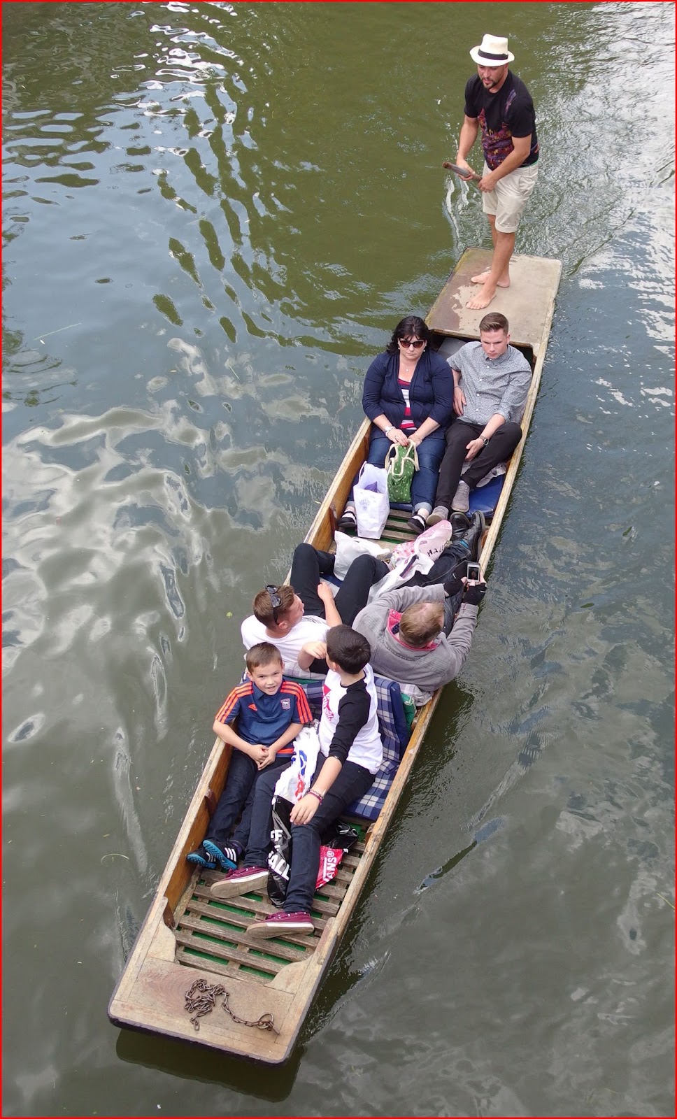
It begins like this. Long ago there was a small piece of woodland that flanked Byron's Pool, a well-known beauty-spot on the River Cam. It was here that we came as boys to ride bikes, walk and fish. We'd often sat at the very point where the above picture was taken and wished that we could explore further, but there was a fence which made it clear that we weren't welcome.

We did manage to outflank the landowners eventually by the simple expedient of getting our punt up above the weir and to "boldly punt where no punter had punted before"!

What has changed since our pioneering expedition is that a housing company wanted to develop a piece of land nearby and erect some houses and apartments. In order to ease their way through the planning rules and the expected local opposition, they agreed to also transform the area between the projected new development and Byron's Pool into a nature reserve to be known as Trumpington Meadows. Mostly it's meadowland which has been sown with wild flower seeds.

But beyond the motorway it also takes in a strip of rougher land alongside the river and it was this part which came as a pleasant surprise to us - an area of countryside which we had never imagined was there. It took a while to figure out exactly where we were.

This long, narrow pond, a notice informed us, was a trench left from the digging of "coprolites". These phosphatic nodules were thought to be dinosaur dung and were exploited for their mineral content; ground-up they made excellent fertilizer. Within a few decades the value of coprolites fell, as guano (sea-bird droppings) began to be imported from tropical islands. The notice had a helpful illustration to help you imagine the once-industrious scene....

It also went on to explain that this trench was not part of the original "coprolite rush", but a revival in the trade when the Great War disrupted supplies of guano. However before the project got into full swing the war ended and the trench was abandoned.

Part of the work of transforming agricultural land into a nature reserve involved the planting of many native trees, including hazel and alder.

And, of course, it's almost compulsory these days to have carvings of the wildlife that you might or might not see when you visit. I'm all for promoting any artistic endeavours (with just one or two exceptions) but I admit that there are times when I curse these sculptures for getting in the way of my photos! I think these are (clockwise from top-left) Skylark, Brown Trout, unidentified birds feeding on berries, and Otter.

There's a pond too to attract more wildlife. We were surprised to see a Stonechat here perching among the reeds. And this fellow was on duty as well...

A Black-Headed Gull - one of those hopeless names which doesn't tell you that in winter the head is mostly white and even in summer it's not really black but chocolate-brown. I hope he was OK; it made no attempt to fly as I approached with my camera, though I wasn't as close as the photo makes it look.

We hadn't really expected much from this outing - the picture above is how I remember much of our punt trip some fifty years ago! But it really provided a pleasant walk and, despite the noise of the motorway, it felt as though we were in an entirely different world.

And who can resist when the low winter sun lights up the first colourful signs of spring growth?
Take care.