Green Island is not an island at all; not in the sense of being surrounded by water anyway. It is confined by a triangle of roads, but it's not a traffic island either; these are minor country roads and the "island" is just one of the millions of little blank spaces on the road map of Britain.
In 1996 this twenty acre site (about 8 hectares) came up for sale and was bought by the garden designer, Fiona Edmond, and her husband. Up to this time Fiona had been running her garden design business, playing golf up to international level and raising two children - but all that came to an end when she contracted ME.
The site was overgrown with brambles, young sycamores and fallen trees. Somehow clearing up the mess and designing the garden helped her overcome her debilitating condition. It's such a tranquil space that I can believe it would have a healing quality. Green Island Gardens is now open to the public and you can wander around with me if you like.
There are lots of places for children to play. (I've never understood why Garden Centres don't have swings and trampolines for sale - that's how a lot of gardens are used).
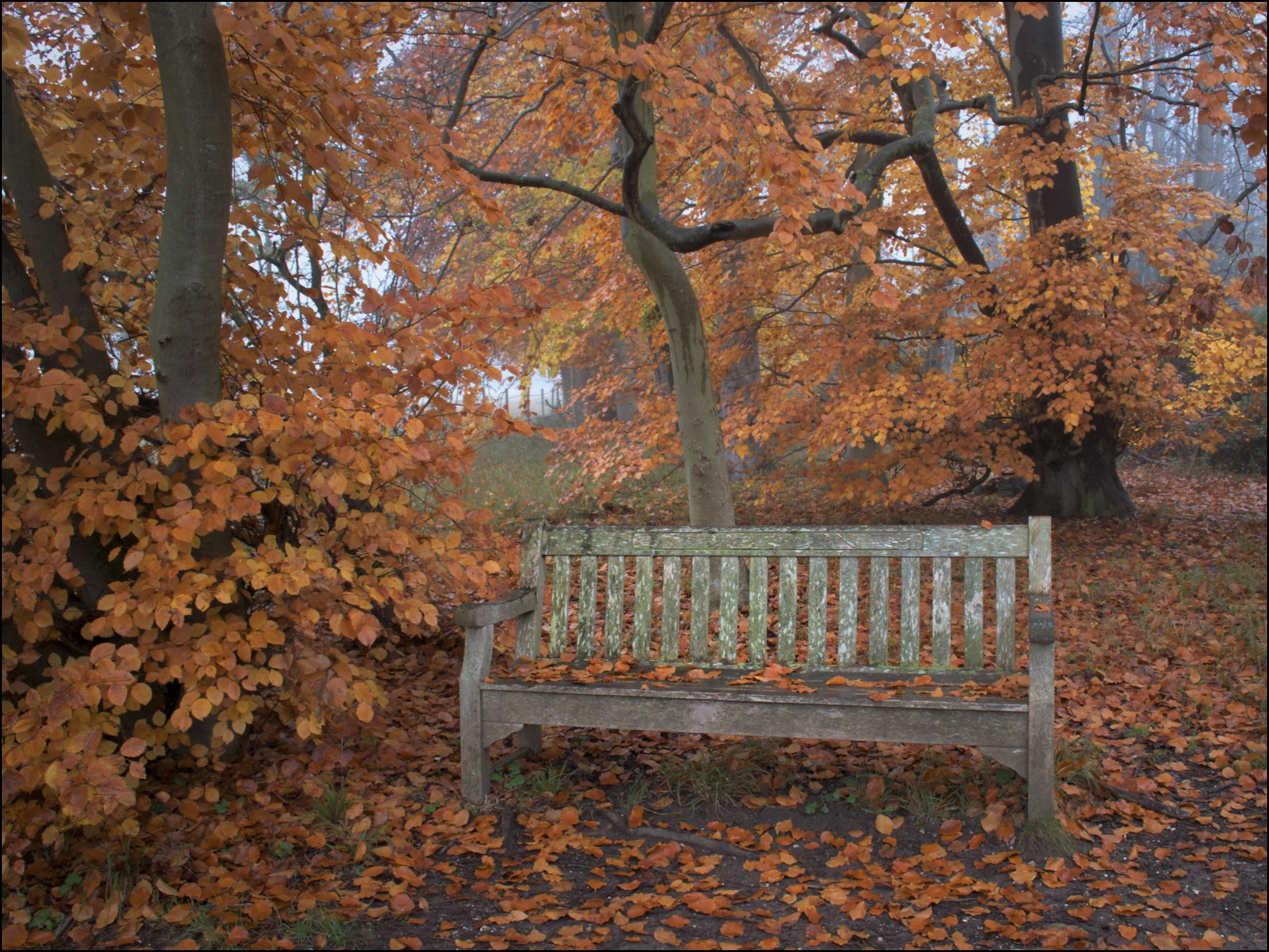
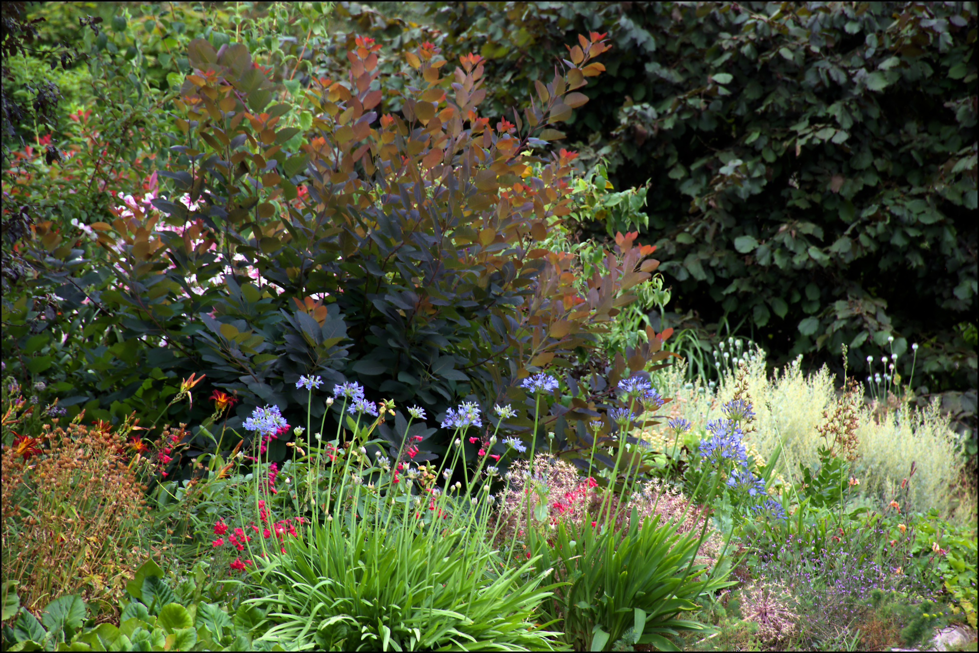
There are many flower beds whose colour attracted my camera, though a lot of the garden is given over to grassy paths and woodland walks too.
It's high time that I just shut up and let the garden work its magic.
Fancy a cup of tea and a slice of cake? Here's the tea room...
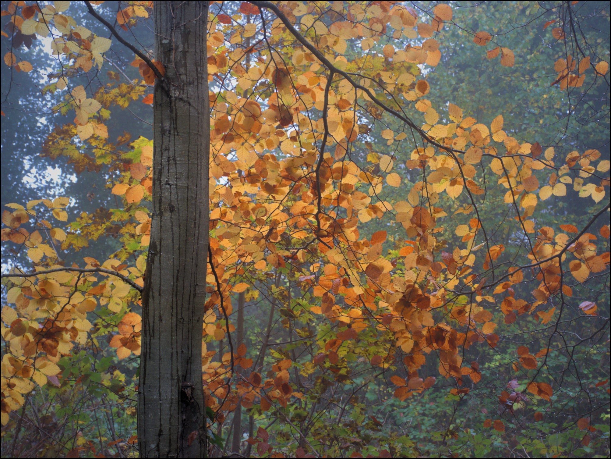
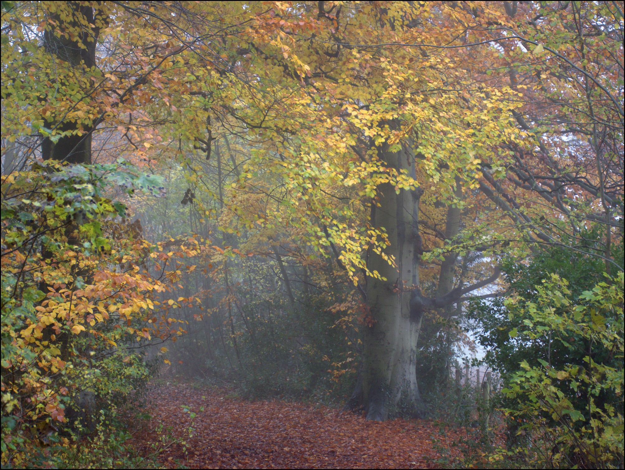
As you can undoubtedly see in the photo above it's been brutally hot (40C) and dry here recently and the woodlands in particular seem to have suffered. Some leaves have just turned brown and fallen, some have changed to autumn colours, and some have fallen while still green. Surprisingly this made a satisfying picture, along with the Sweet Chestnut catkins.
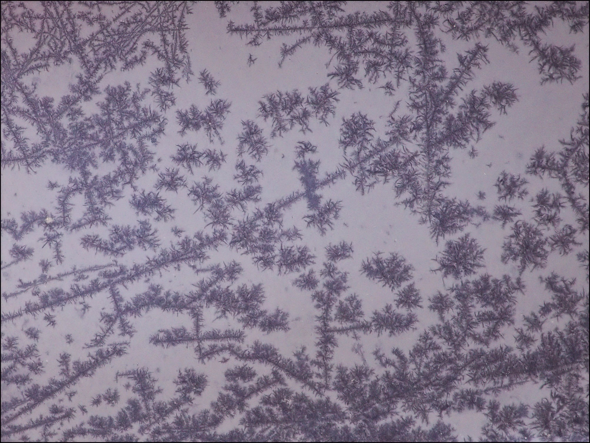
It somehow reminds me of an old jewellery box, with brooches and earrings all tangled up with strings of pearls.
Take care.
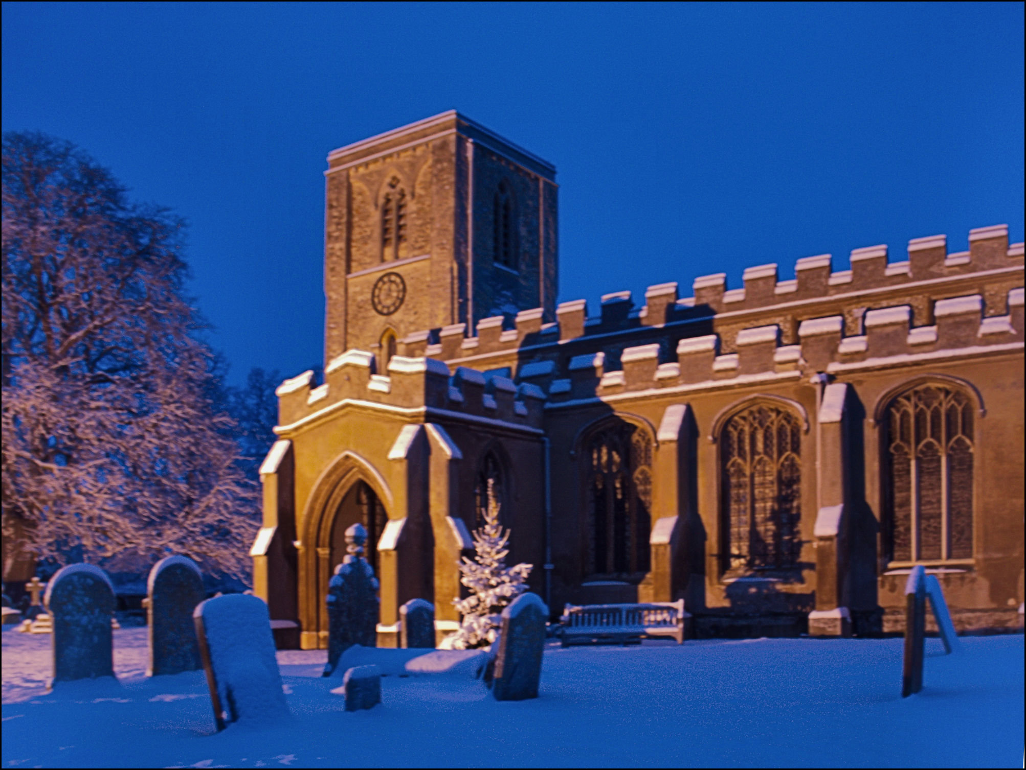
(Green Island Gardens is only a short drive from the more famous Beth Chatto Garden, which we didn't visit this time, and the two are often combined for a splendid day out - or you could visit Copford Church, of course!).


.jpg)


.jpg)

.jpg)


.jpg)

.jpg)

.jpg)

.jpg)

.jpg)

.jpg)

.jpg)

.jpg)

.jpg)
.jpg)

.jpg)

